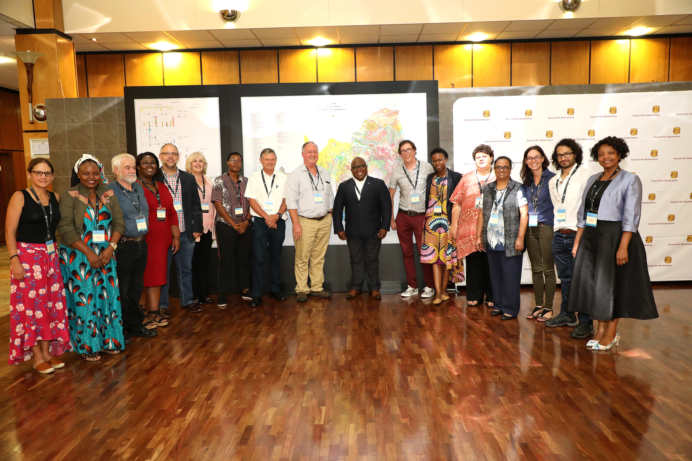
The Council for Geoscience, as the national custodian of all geoscience data in South Africa, has embarked on the development of an updated and digitally interactive geological map of South Africa. This map takes advantage of fundamental geological data that has been collected over a period spanning more than a century and is presented on a scale of 1:1 000 000 scalable to a resolution of 1:250 000. Several previous inconsistencies were noted and have been resolved using advanced technological intervention and/or targeted field work.
This includes rationalising seamless stratigraphic correlations across the country, particularly across individual map boundaries, changing stratigraphic nomenclature to align to the transformation goals of South Africa and migrating geological and attribute data to a queriable GIS platform. The digital nature of this product is important within the context of the Integrated and Multidisciplinary Geoscience Mapping Programme, because it will allow for continuous updating and modification aligned to the broader Council for Geoscience mandate.Please click HERE to download the maps.


